Bushland Condition Monitoring
A Long-term Monitoring Program by the NCSSA
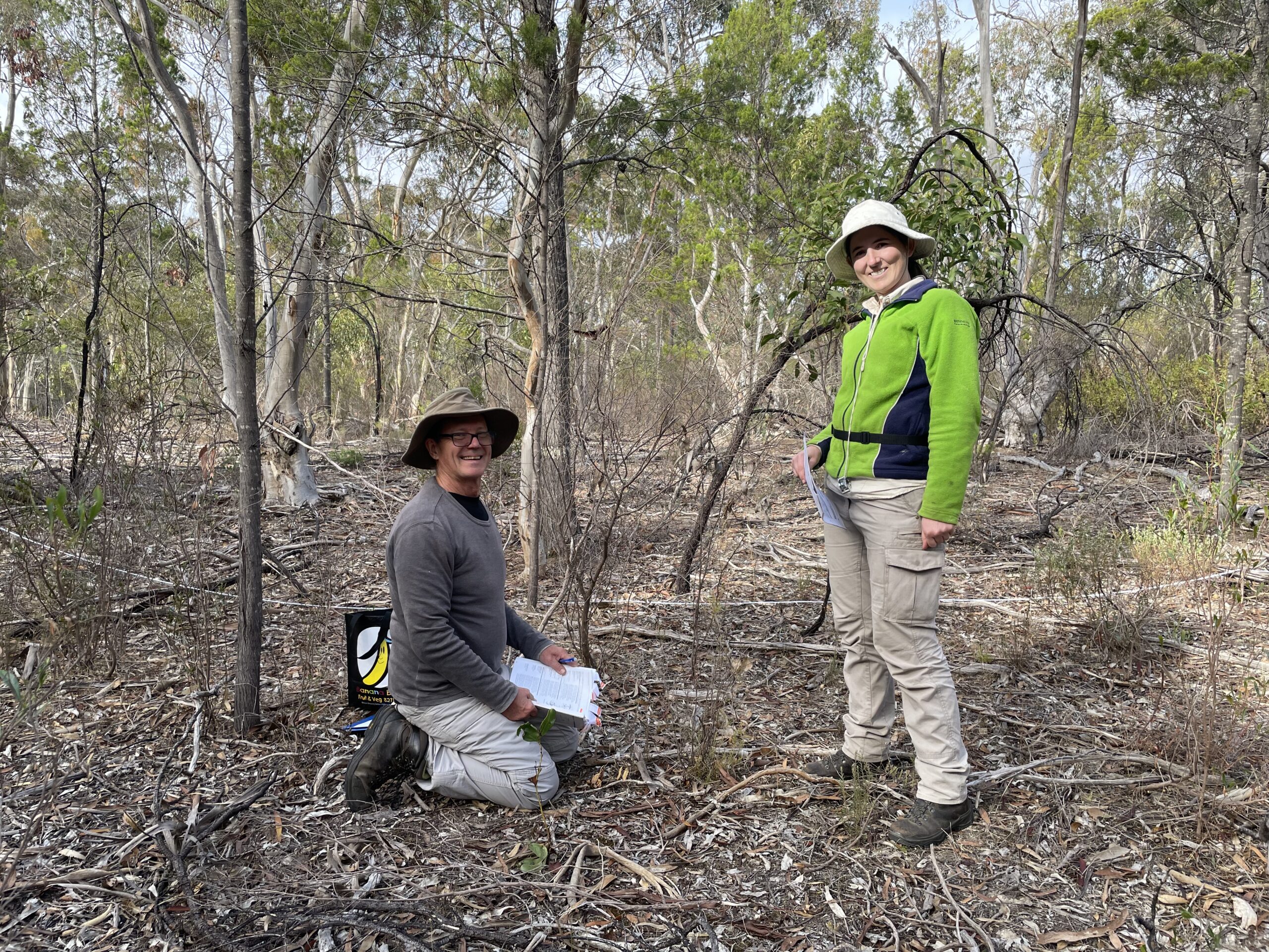
The Bushland Condition Monitoring (BCM) program has been running since the mid-2000s and provides essential data on the long-term health of native vegetation in regions of SA. NCSSA and partners designed and developed the BCM method as a consistent, repeatable field survey technique that can be used to monitor bushland health across long periods of time.
Over the years, we have provided BCM training to >500 people. This is important as it builds the capacity of the regions to continually monitor and assess the vegetation condition and detect any changes.
So far, over 2,000 monitoring sites have been set up in patches of remnant vegetation on public and private land. Each site is surveyed at least every 10 years to detect changes in native plant diversity, weed invasion, tree health, native plant regeneration, and habitat structure.
The BCM methodology has a range of applications and can be used to monitor remnant vegetation and revegetated or restored areas. The method has been specifically designed to:
- Enable a robust and repeat data collection method that will allow comparisons of vegetation condition over many years
- Provide results that will inform conservation management decision making, and
- Provide community and landholders with the skills and confidence to undertake their own assessments.
BCM surveys stand-alone but can also be integrated with other conservation programs. For example, BCM flora surveys are paired with bird surveys within the Mount Lofty Ranges Woodland Birds program. They are also an integral part of monitoring the longer-term outcomes of the Marna Banggara (Great Southern Ark) project, which has reintroduced the locally extinct Brush-tailed Bettong to the southern Yorke Peninsula.
We have published BCM manuals for various regions within South Australia. These manuals provide the assessment tool and methods and can be used by volunteers, practitioners, ecologists and landholders. Volume three of the manual provides considerable information about the flora, fauna and vegetation community for each region.
What we do with the information we collect
Information from surveys is provided to landholders and Landscape Boards to help them plan how to manage remnant bushland, and to provide feedback on whether existing management, such as weed control and fencing, is providing effective protection to native habitats.
We provide entered data to the South Australian Government for uploading into the Biological Database of South Australia (BDBSA). This means that the data will be available to the public through Nature Maps NatureMaps

Recent BCM Work
Vegetation Monitoring in the Northern and Yorke Region
Since 2019, NCSSA and the Northern and Yorke Landscape Board have been collecting data using BCM methodology. This data has provided baseline information for assessing the long-term health of the region’s native vegetation, and the landscape-scale ecological impacts of management practices implemented in the Marna Banggara project. After analysing the data from our monitoring, we produced a Trends Report as well as outlining recommendations.
Evaluating Vegetation Condition Changes on the Eyre Peninsula
In 2023, we worked with the Eyre Peninsula Landscape Board to analyse, evaluate and report on the changes of coastal saltmarsh vegetation communities in response to a threat abatement and recovery project. More recently, in 2024, we are looking at evaluating the results from other BCM data analyses within the Eyre Peninsula region, focussing on Drooping Sheoak Grassy woodlands, an endangered vegetation community. This assessment will consider which changes have occurred within different rainfall zones and in response to different management interventions.
Photo by the South Australian Seed Conservation Centre
Vegetation Monitoring in the Southern Mount Lofty Ranges
This project involved resurveying Bushland Condition Monitoring sites that are associated with our long-term Mount Lofty Ranges Woodland Bird Monitoring Program. Vegetation surveys were conducted at several sites across SA Water’s South Para and Mount Bold Reservoir Reserves. By correlating vegetation condition with bird data we aim to identify drivers of the loss of native woodland bird species and take remedial action through management decisions by land managers. We ultimately aim to understand the impacts of fire and woody weed management, vegetation degradation and restoration.
This project was funded by SA Water through their Reservoirs Partnership Program.

Contact us if you need support with vegetation condition monitoring
